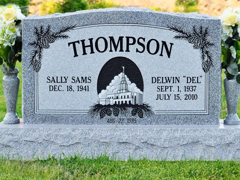
Precision RTK Cemetery Headstone Survey and Mapping

Skyspec Drone Services offers high-precision RTK Headstone Survey and Mapping, providing cemeteries, councils, heritage organizations, and memorial park managers with highly accurate, up-to-date digital records.
Using advanced RTK-enabled drones, we capture high-resolution imagery and spatial data with centimeter-level accuracy, ensuring precise mapping of headstones, gravesites, and cemetery infrastructure. Our service delivers detailed orthomosaic maps, 3D models, and georeferenced datasets, making it easy to manage records, plan maintenance, and preserve historical sites.
Our surveys help with:
✅ Accurate cemetery mapping – Essential for record-keeping, new burials, and infrastructure planning
✅ Digital preservation – Create permanent, high-resolution digital records for historical and cultural heritage purposes
✅ Plot verification – Cross-check existing records with actual site conditions for better data integrity
✅ Infrastructure and landscape planning – Support cemetery expansion and maintenance with reliable geospatial insights
With our efficient UAV technology, we can survey large areas quickly and cost-effectively, reducing the need for time-consuming manual mapping. Our data can be seamlessly integrated into cemetery management software, ensuring smooth and organized record-keeping.
Whether you need a one-time survey or ongoing monitoring, Skyspec Drone Services provides cutting-edge aerial mapping solutions to simplify cemetery management and historical preservation.